Primed by their exploration of Dights Falls, students will now design their own fishway. They will draw upon their understanding of indigenous fish trap techniques (covered in previous lessons) combined with their new knowledge of the site’s history (VC2HG6K04, VC2HH6K06) and their observations of the current infrastructure (VC2HH6S02, VC2HG6K01).
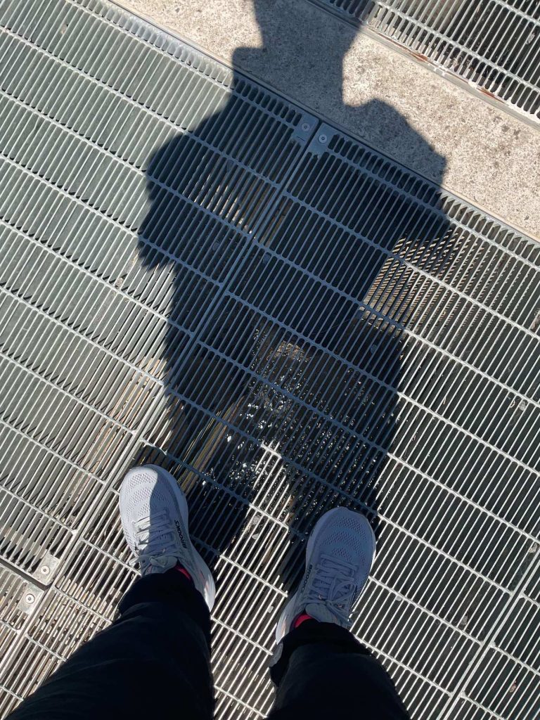
The activity begins with a physical walk on top of the fishway to observe the design and workings of the structure and to investigate how this manmade structure impacts the environment .
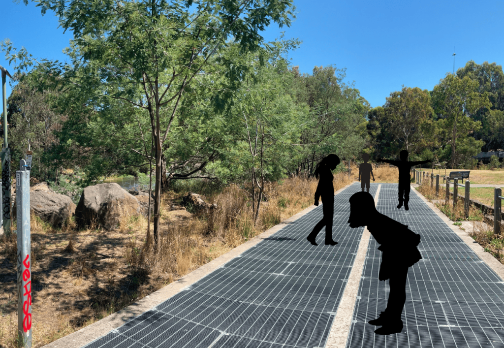
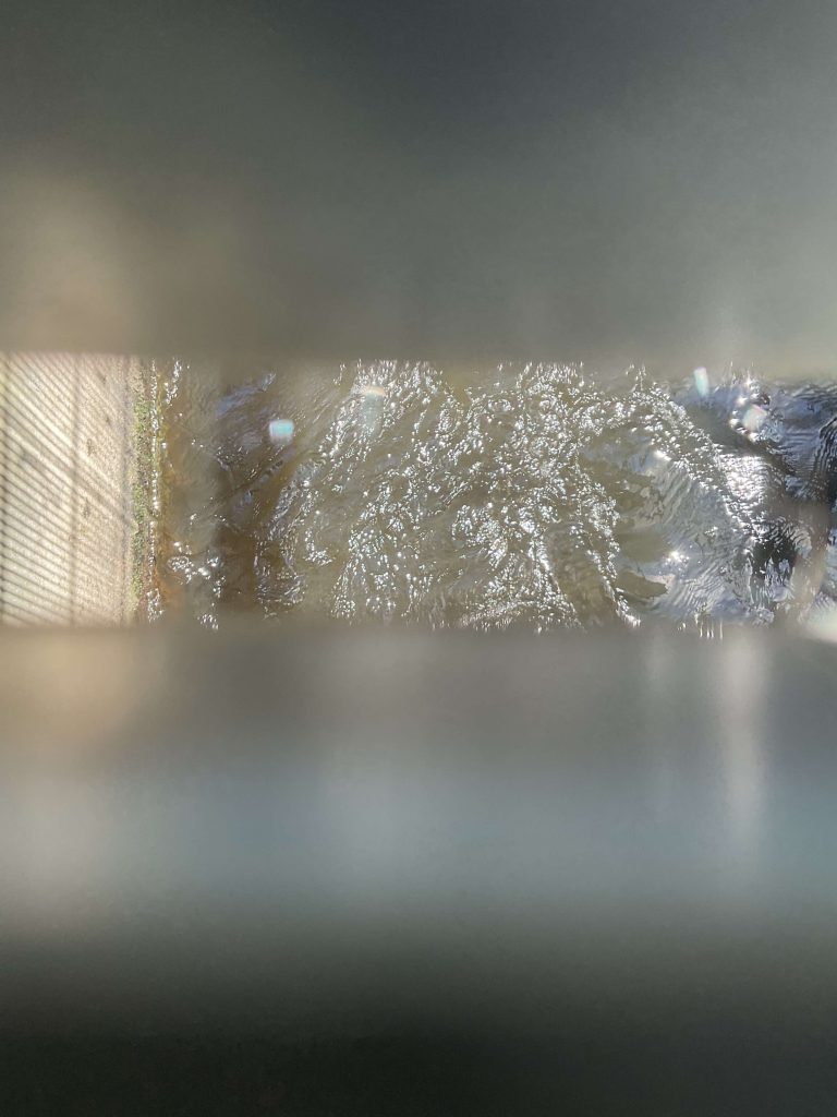
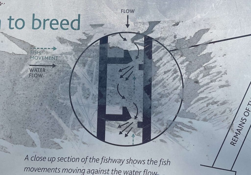
This walk allows them to observe the structure from above, tracing the shape of the fishway design, how the flow of water is affected, and which way the fish travel. Working as groups, student can physically recreate the migration of the fish by walking the fishway and observing the flow of the water, noting the directions of upstream and downstream flow (VC2TDE6D04).
Students will then transpose this information to their Design a Fishway worksheet and sketch ideas for their own fishway design (VC2HG6S06). The work they do on site will inform the remaining lessons in the unit when students create a working model of their design (VC2TDE6S01).
Inquiry questions:
- How did the fish migrate in pre-colonial times?
- How did the original weir impact the ecosystem at Dights Falls?
- What do you notice about the flow of the water through the fishway?
- Why is the fishway designed like it is?
- How were the traditional owners involved in the design of the fishway?
- What species of fish are likely to use the fishway (use the information station at the site to help you)?
- What are some other methods that could bring fish back to the area?
- Is your design sustainable? If so, how? If not, what impact might it have on the environment?
| Support: Trace or copy the fishway design from the information plaque at the site, then use rocks, leaves or found objects to show the path the fish take during migration. Extension: Consider the way that history is recorded on the information plaque at Dights Falls. Does this plaque provide an indigenous perspective – how/how not? |